This blog was written in the Swedish mountains on a mobile phone using Termux and a foldable bluetooth keyboard from Jorno.
Table of contents Link to heading
- Nikkaluokta - Kebnekaise Fjällstation
- Kebnekaise summit
- Kebnekaise Fjällstation - Èiverraláhku
- Èiverraláhku - Vistasdalen
- Vistasdalen - Vistasdalen
- Vistasdalen - Nikkaluokta
- Vistasdalen to Kebnekaise Fjällstation
- Kebnekaise Fjällstation - Singistugorna
- Singistugorna - Kaitumjaurestugorna
- Kaitumstugorna - Teusajaurestugorna
- Teusajaurestugorna - Vakkotavare
2018-07-14 Nikkaluokta - Kebnekaise Fjällstation Link to heading
We took the night train and transfered to bus and arrived at Nikkaloukta around 11:30.
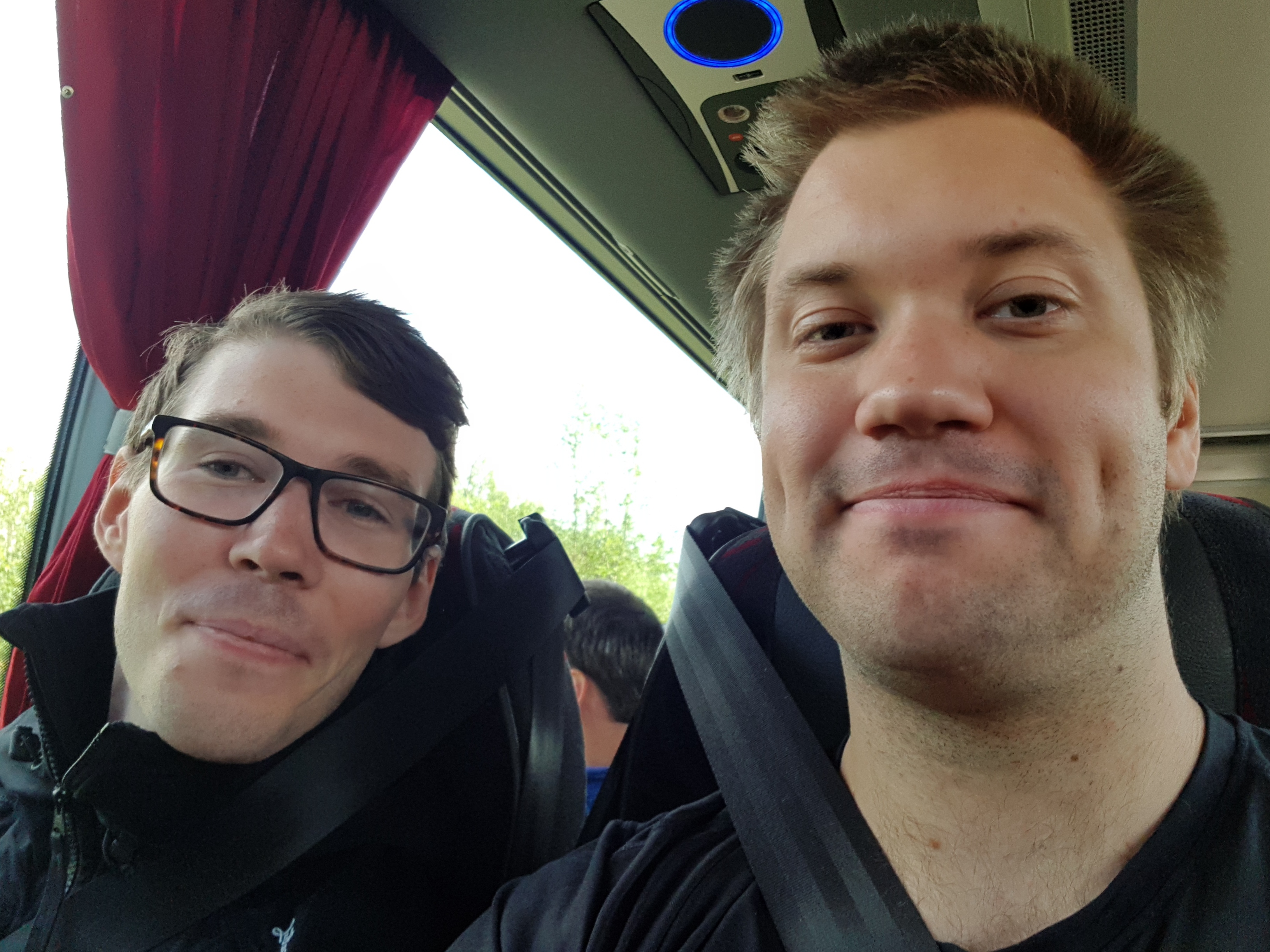
Excited hikers ready to get going
From Nikkaluokta we hiked towards Kebnekaise Fjällstation and had a lunch break at Enok’s restaurant, the reindeer burgers there are highly recommended!
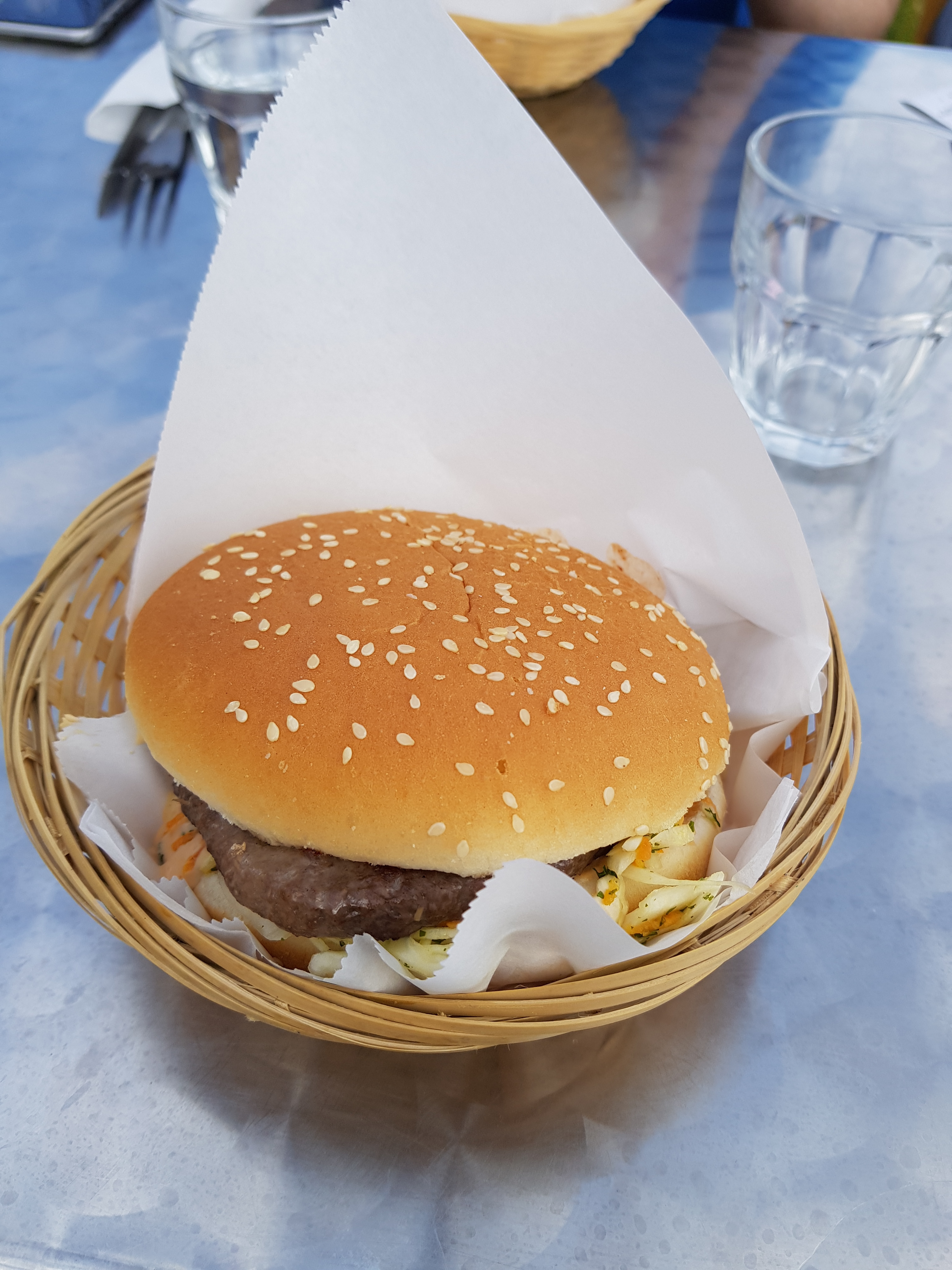
I am not a good food photographer but here is the burger
We arrived at the Fjällstation around 17:30, found a camp site, made dinner and tried to go to bed early to be prepared for the hike up the mountain.
2018-07-15 Kebnekaise summit Link to heading
We set the alarm to 6:30 and left for the west route around 7:30, after having breakfast and packing everything up. In hindsight we should probably have left earlier, maybe as early as 4 am. We left the big backpacks at the campsite and continued onwards with the smaller packs and bottles for around 3 liters of water per person.
The weather was suppose to be cloudy and around 1 °C, so not the best weather but our iternary forced us to climb today so we did. We found the last easily accessible water at the quite newly built bridge in Kittlebäcken and walked upwards in a comfortable pace, with many pauses.
We ate our lunch at Kaffedalen around 11 and then started the last ascending. When we reached the old cabin at the top the weather started getting worse. By the time we got to the new cabin at the top it started raining and the line of sight was about 20 meters. Everything was white, the snow, the sky and everything. Only way to find the path to the top was following the footsteps of earlier hikers.
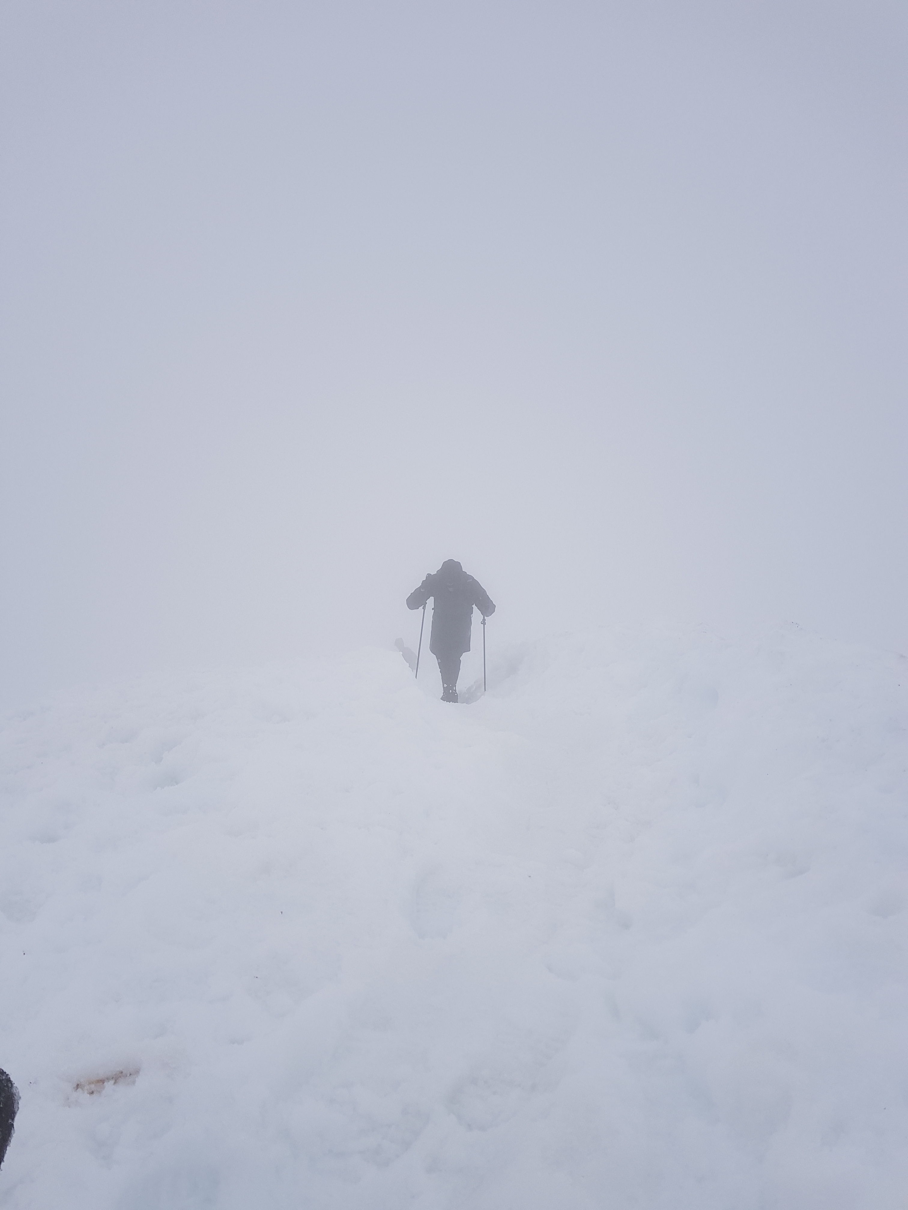
The weather started getting worse close to the top
With only a few meters left to the top the weather improved, the wind and rain stopped and we had a really tranquile experience at the top. The time was around 13:30 so the climb up had taken us 6 hours.
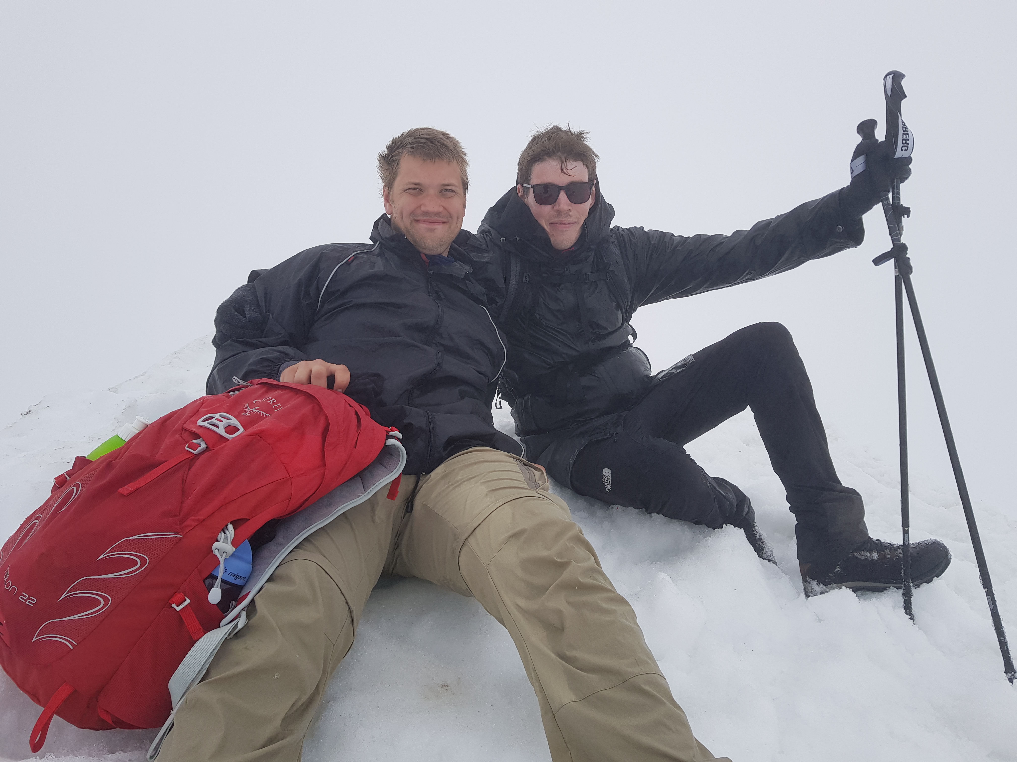
Us at the top of Kebnekaise
The climb down went without problems and we reached Kebnekaise Fjällstation again at 19, after 11.5 hours of hiking. The amount of water could perhaps have been a bit less, 2.5 liters might be enough, but it is on the other hand weather dependent.
2018-07-16 Kebnekaise Fjällstation - Èiverraláhku Link to heading
We chose between to different routes for getting to Vistasdalen, either up towards Tarfala and then down to Vistas or a slightly longer but less steep route around Kekkonen-toppen. We decided for the less steep one since walking upwards felt like a pain the day after Kebnekaise.
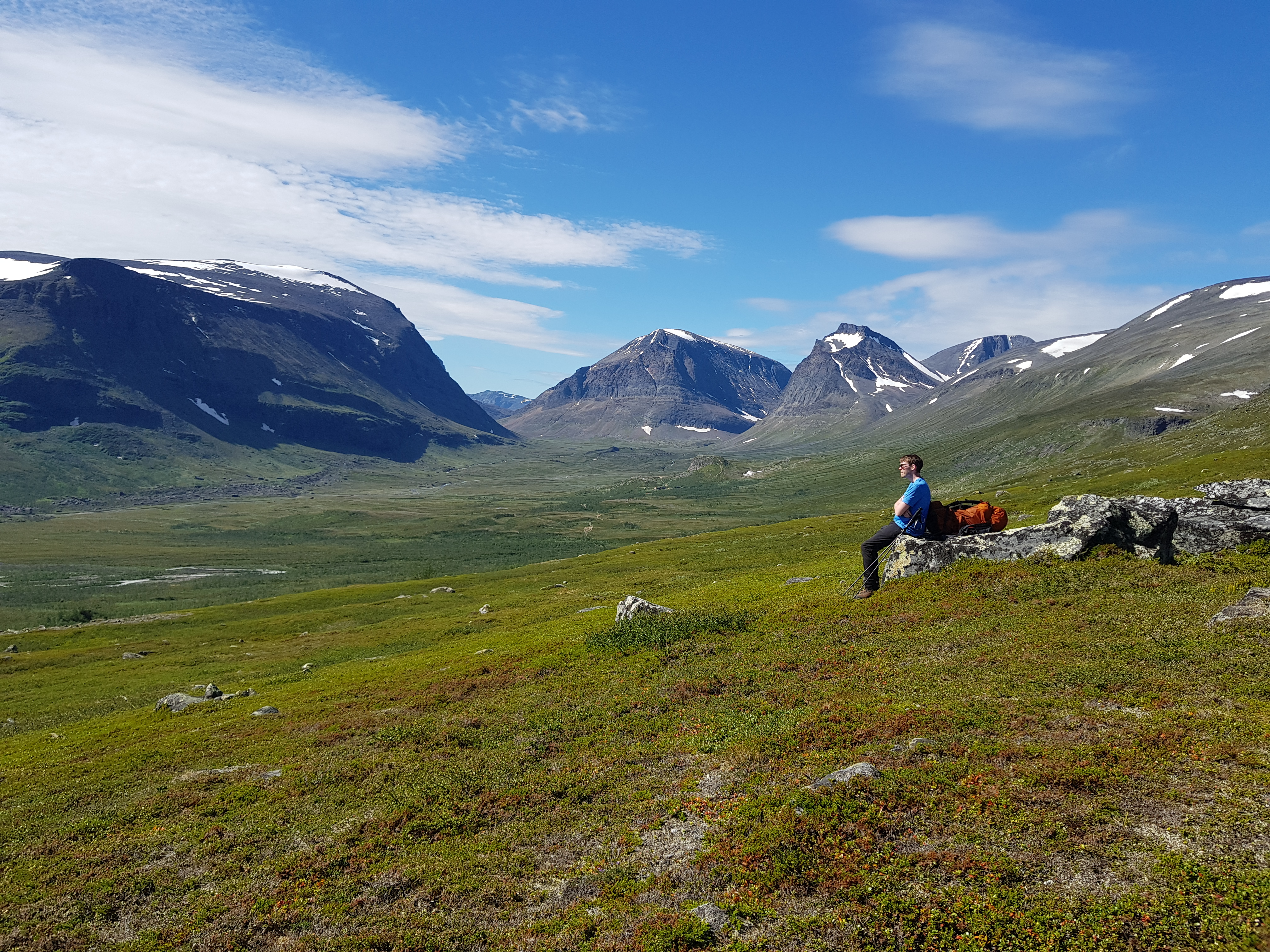
View after leaving Kebnekaise Fjällstation
This was an unmarked route and it was a lot slower to hike compared to the other nice routes we had previously been on. It was an unmarked route with quite a lot of walking on rocks, which decreased the pace.
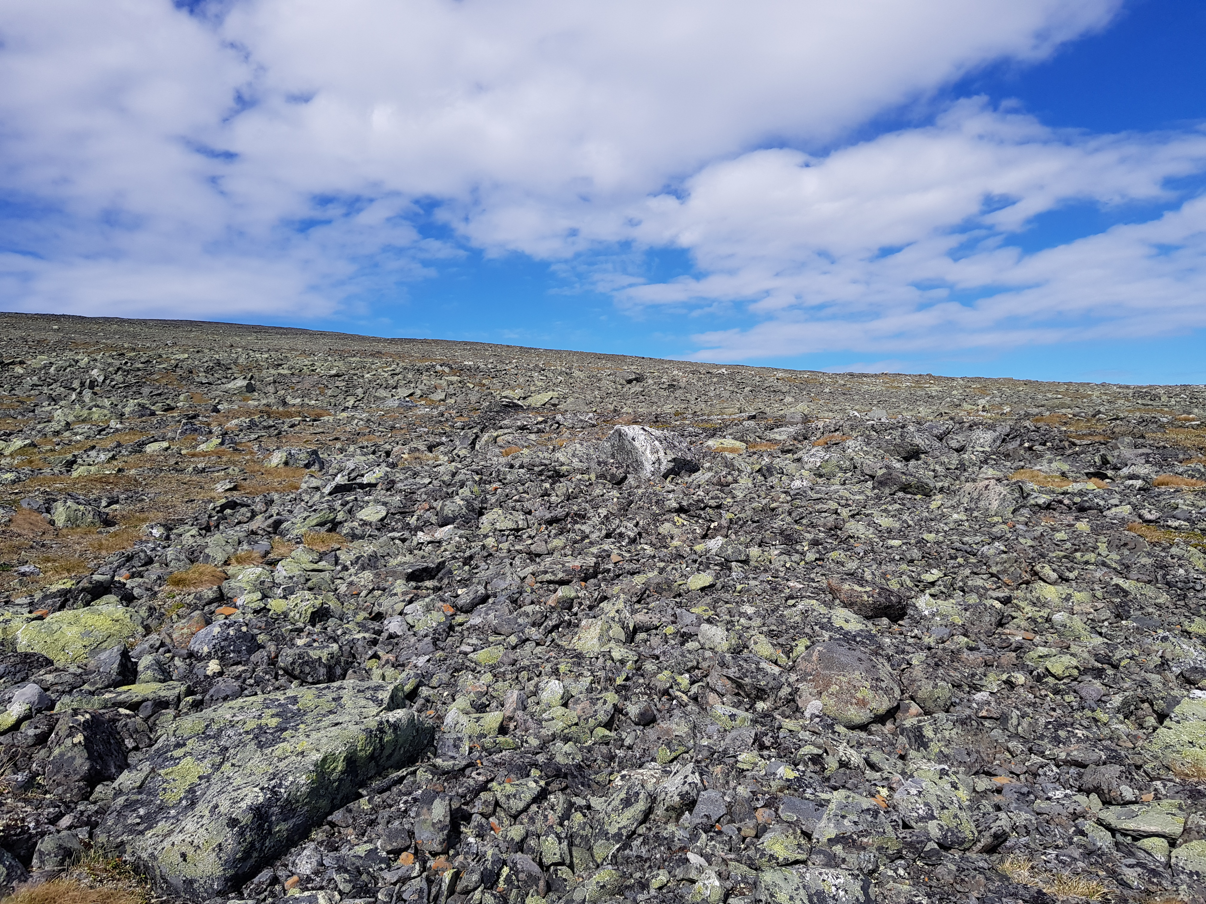
Part of the route to Èiverraláhku
The camp site we found was awesome, a spectacular view and a tiny river right next to the tent.
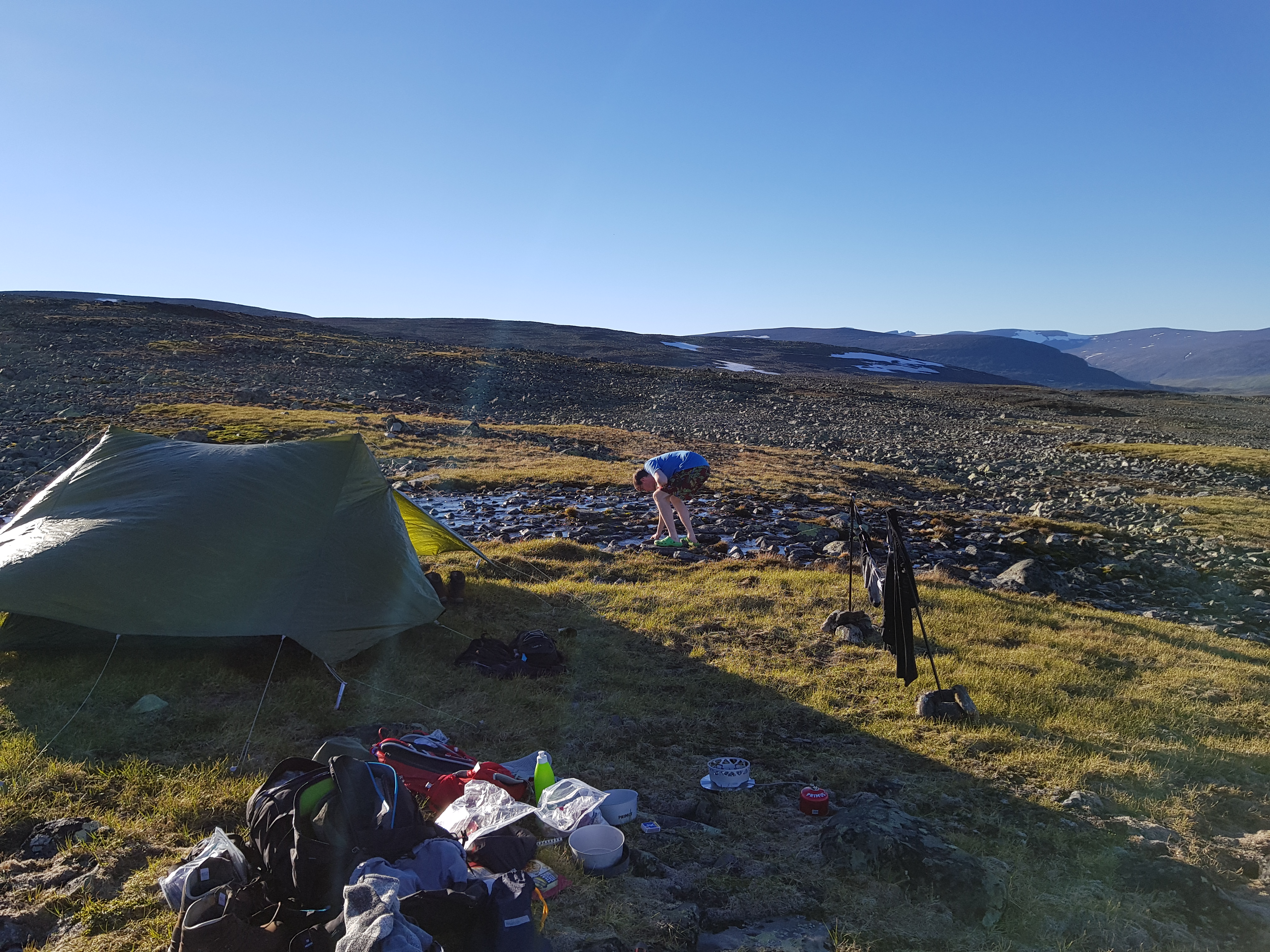
The campsite we found among all the rocks
2018-07-17 Èiverraláhku - Vistasdalen Link to heading
We woke up early with the sun heating up the tent and got going quite early. The hike started again with rock-walking and then a walk down to the Kaskavagge valley.
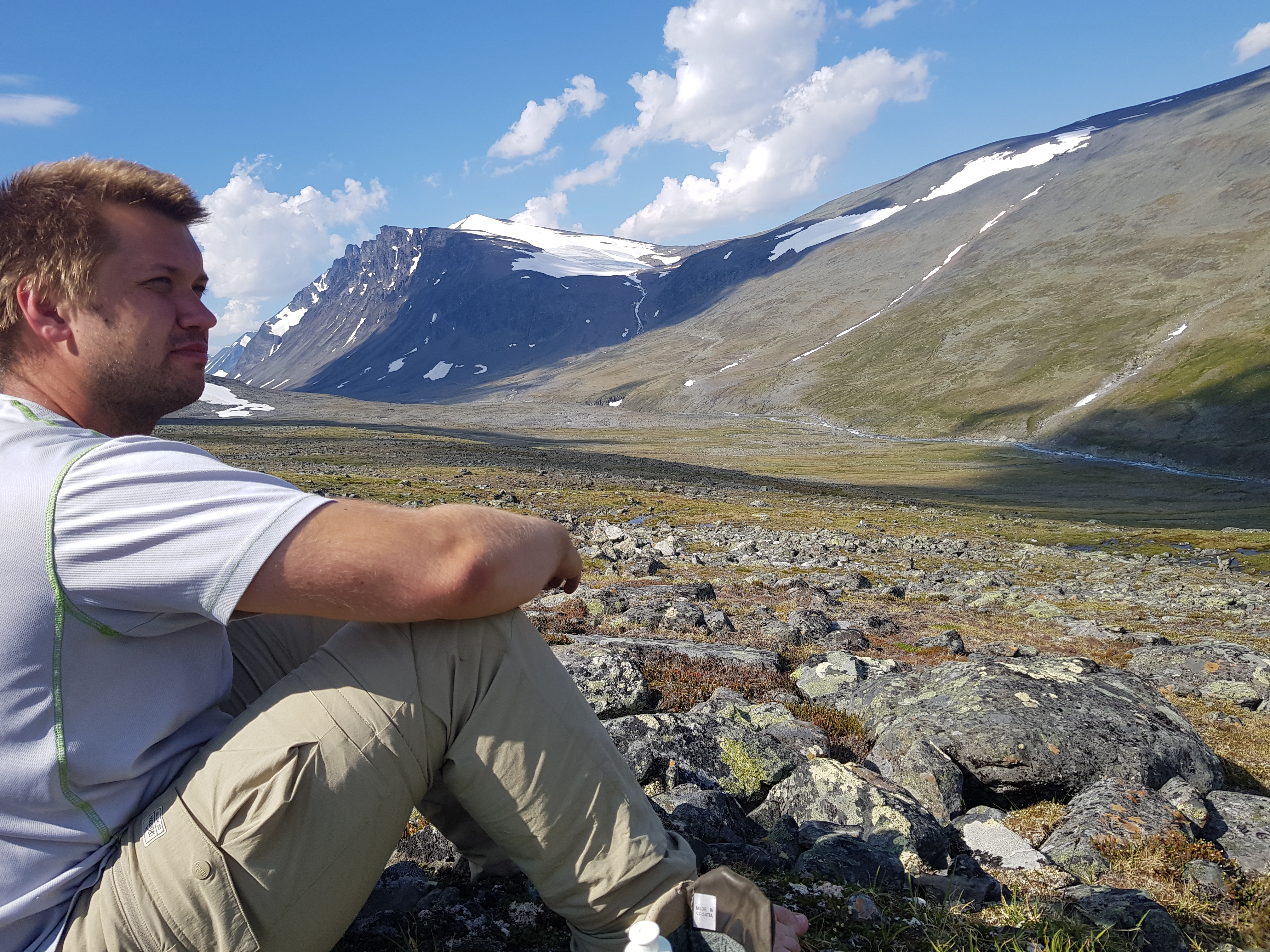
View of the Kaskavagge valley
Once down we started the climb up to Njunni and had lunch in the slope. The climb went alright but the sun was really frying us, each cloud that covered the sun was a blessing.
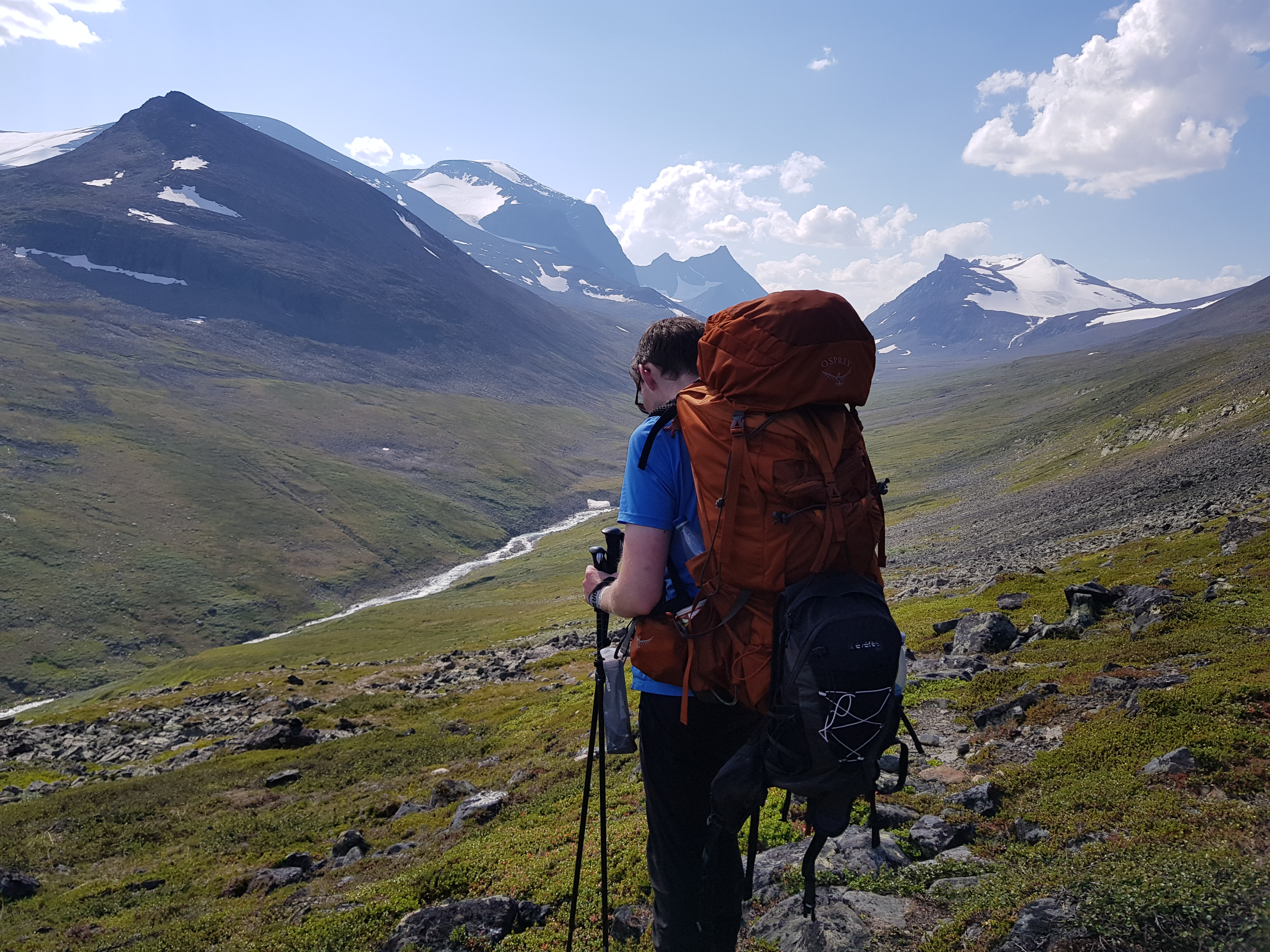
View from lunch break/slope
Water was rather scarse up on Njunni, most small lakes/streams had dried up, but we managed to find a small stream where we could refill our bottles.
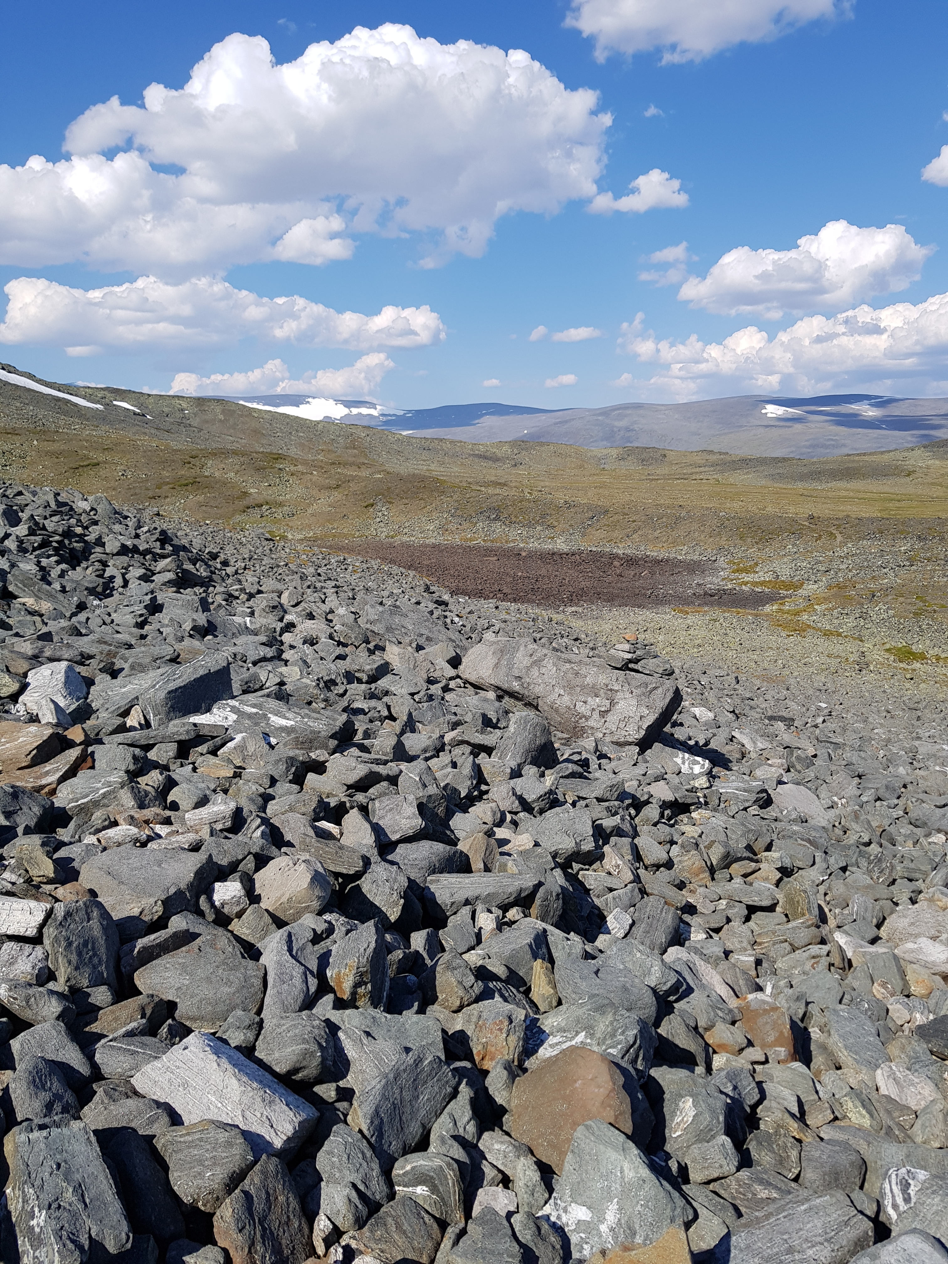
Njunni with dried lake
The hike down to Vistas was exhausting but the path was pretty well-established. Once we approached the valley floor the path on the gps diverged from the path we followed. We decided to follow the gps instead of the path, which definetly wasn’t the right decision, but after some rough trekking we were back on track and decided on a camp site on the east bank of the river. The plan was to have our precious beer down at the valley since the toughest parts were done now. It was a barley wine which tasted great together with our sausage&mashed potatoe dish.
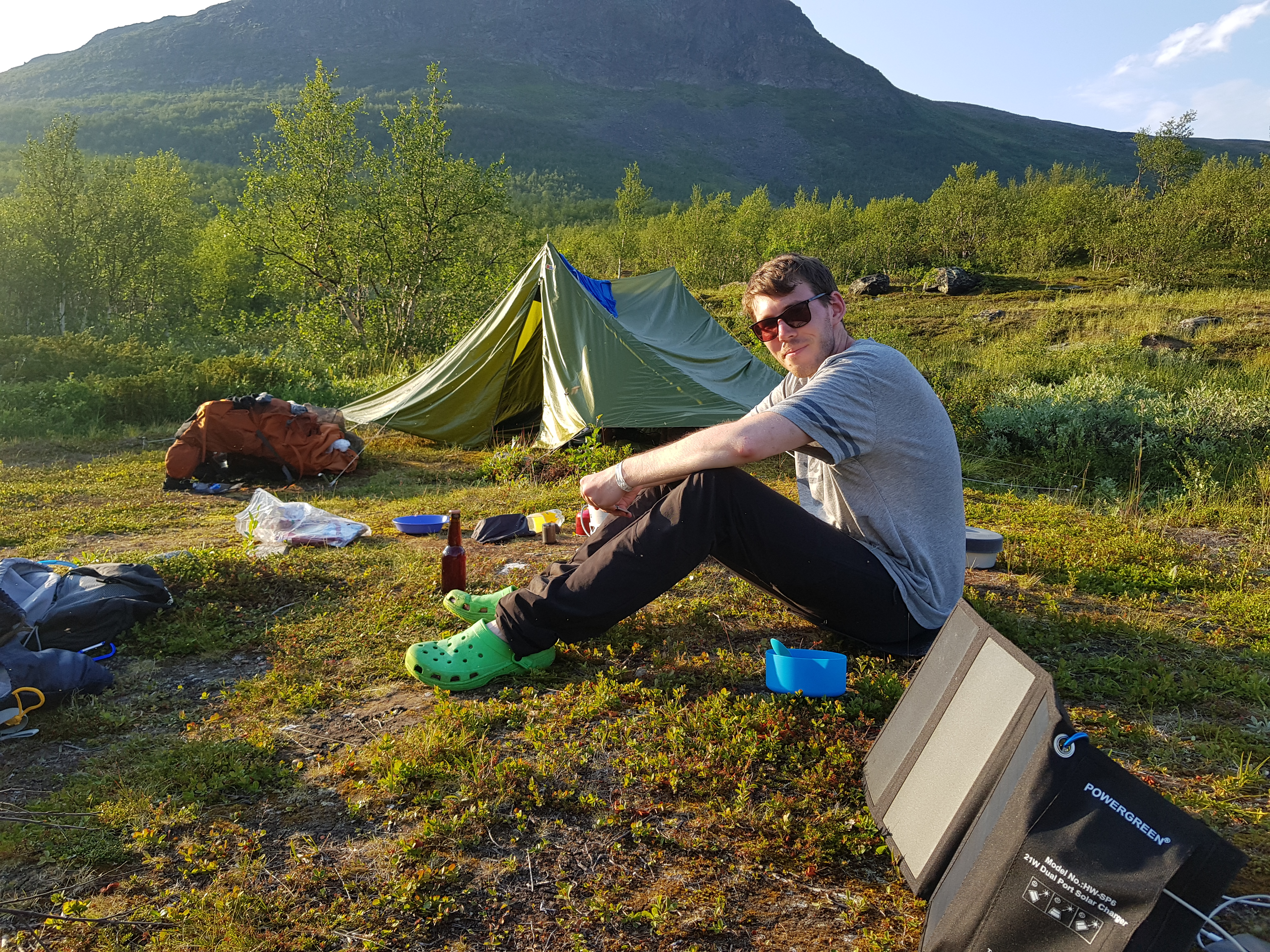
Campsite picture with home-brewed beer (not by me) in the background
2018-07-18 Vistasdalen - Vistasdalen Link to heading
We had plenty of time to reach Nikkaluokta so we had a relaxing morning and then hiked only 13 km on the easy route on the valley floor.
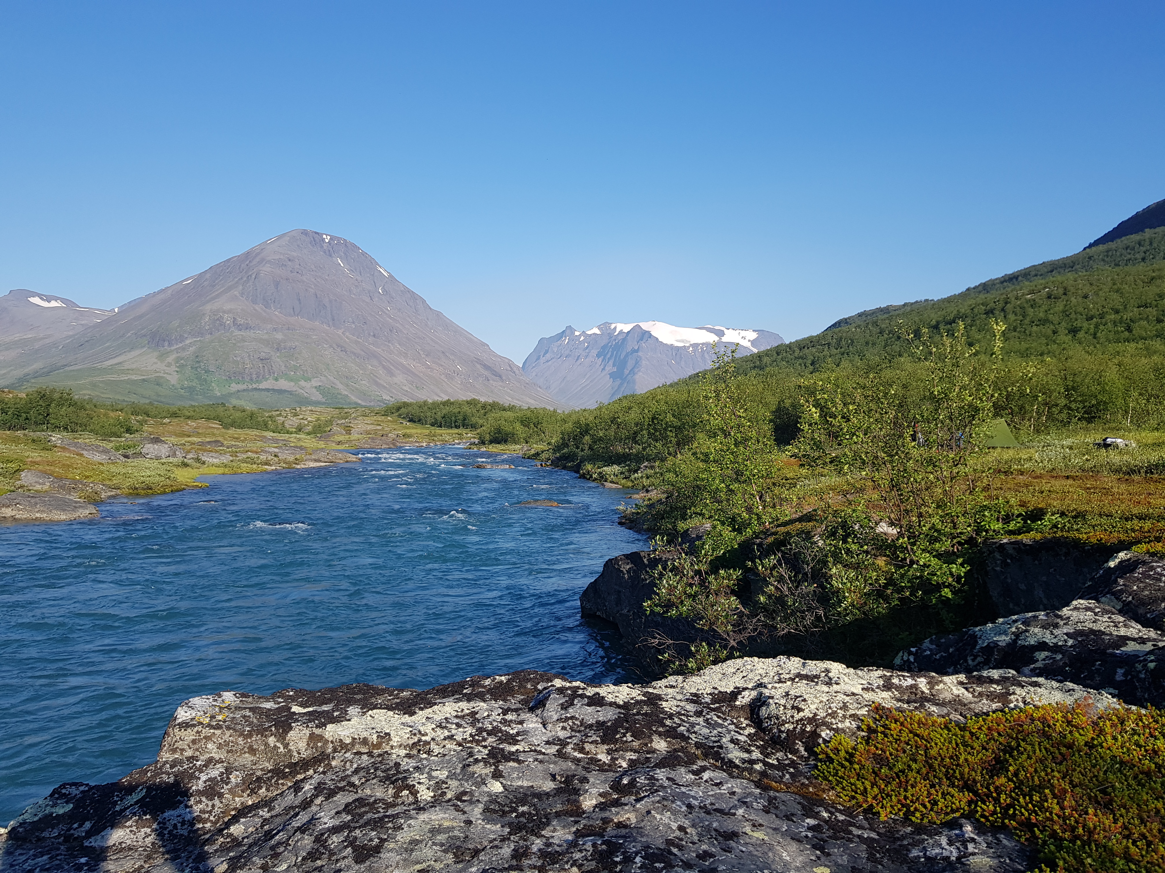
Morning picture
We found a campsite near a small river but unfortunately with huge amounts of mosquitos. I used my mosquito hat for most of the evening.
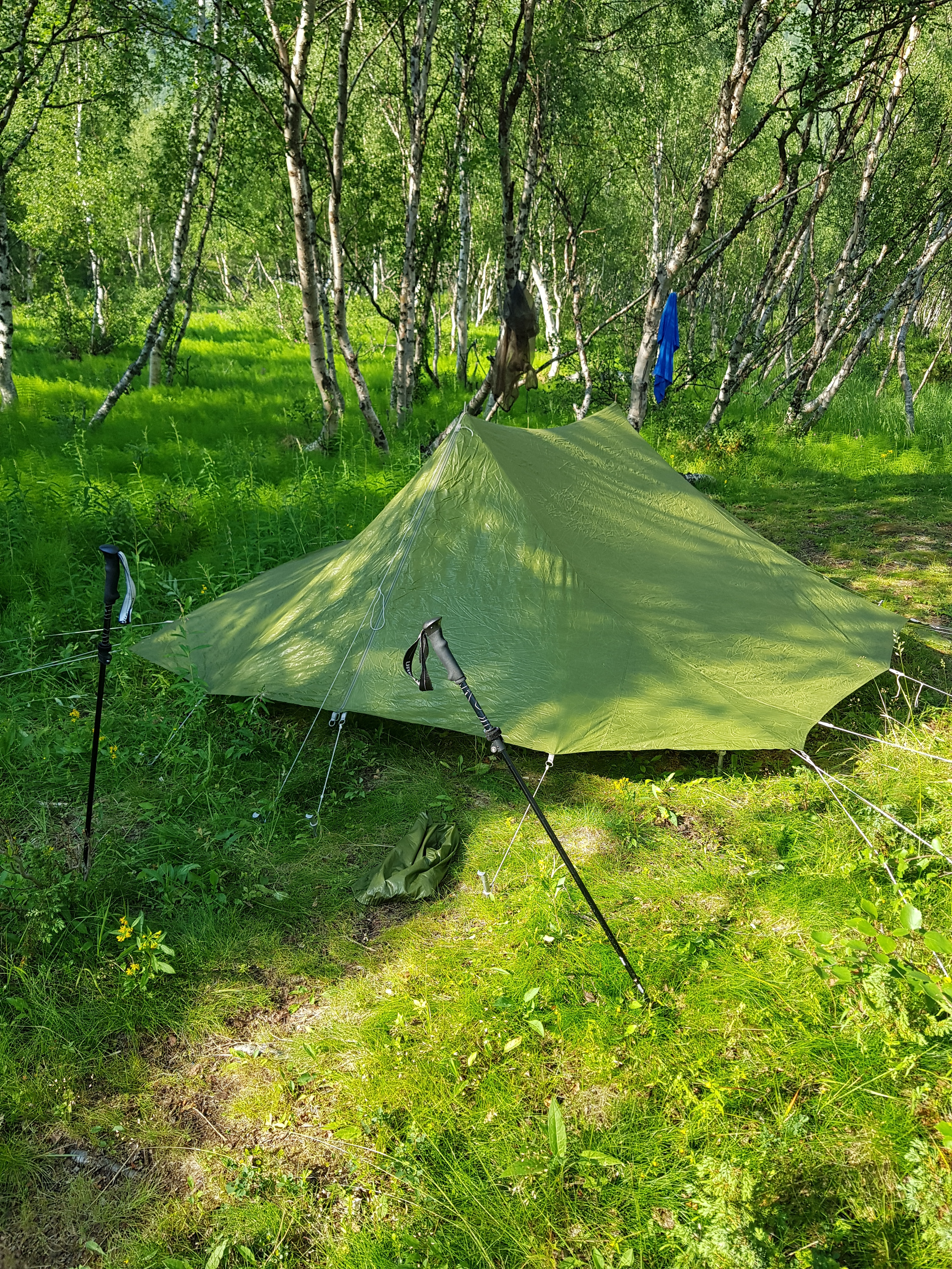
Camouflaged tent in birch forest
2018-07-19 Vistasdalen - Nikkaluokta Link to heading
We hiked about 11 km before stopping for the day, a few kilometer outside of Nikkaluokta. The campsite was close to the main valley river and I managed to take a bath which was supernice after several days of hiking.
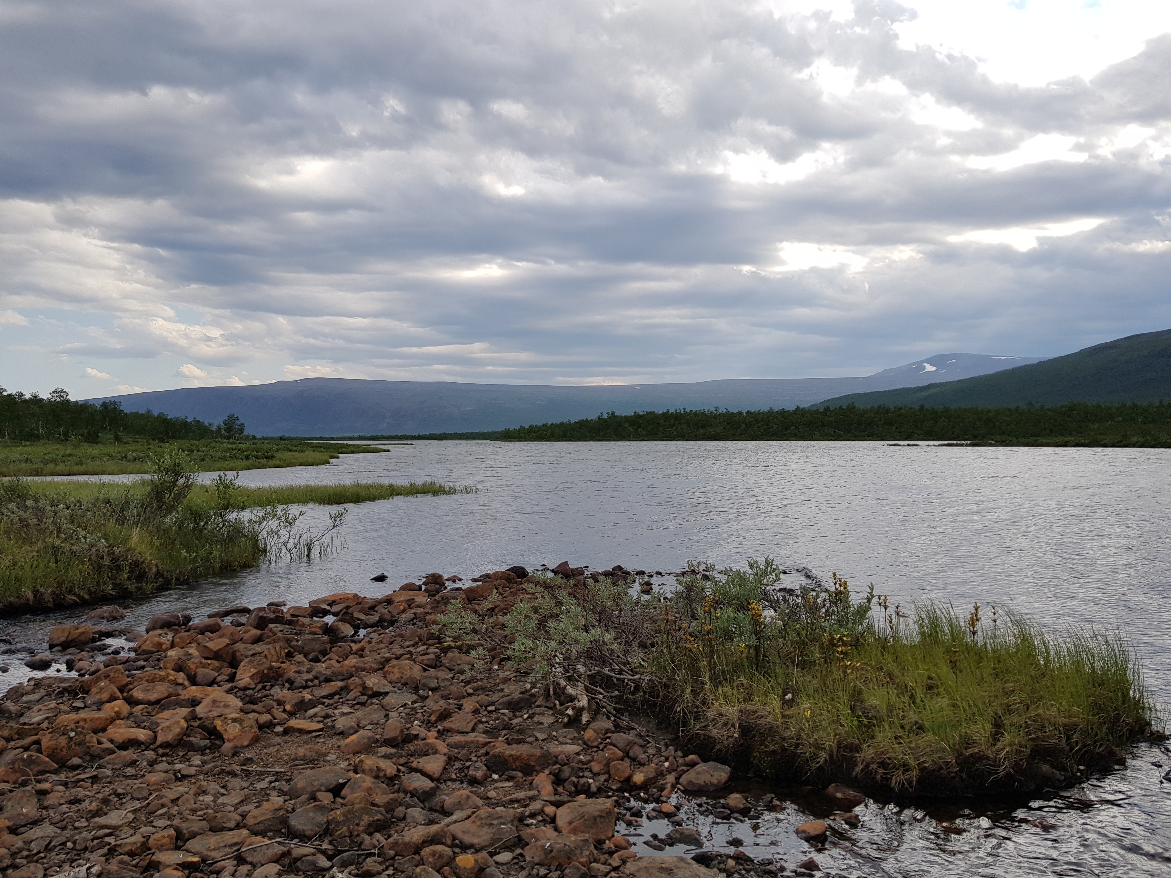
First swim in a while
The weather became a bit worse in the afternoon, cloudy and windy. This was nice after all the sunshine though.
2018-07-20 Vistasdalen to Kebnekaise Fjällstation Link to heading
We walked 5 km to Nikkaluokta and I said goodbye to Patrick and hello to Caroline, and me and Caroline continued onwards to Kebnekaise Fjällstation. We had lunch at Enoks this time as well, and I ate a reindeer burger, cinnamon bun and half a waffle.
In total I walked around 24.5 km, which was really tiring. We paid the fee at the Fjällstation and got the opportunity to use the shower and kitchen. I then also got the opportunity to wash my clothes, which was very needed.
2018-07-21 Kebnekaise Fjällstation - Singistugorna Link to heading
We had a fairly relaxing morning and then got going at about 10:30. The distance was 15 km but felt more tiring than the 24 km hike I did the day before
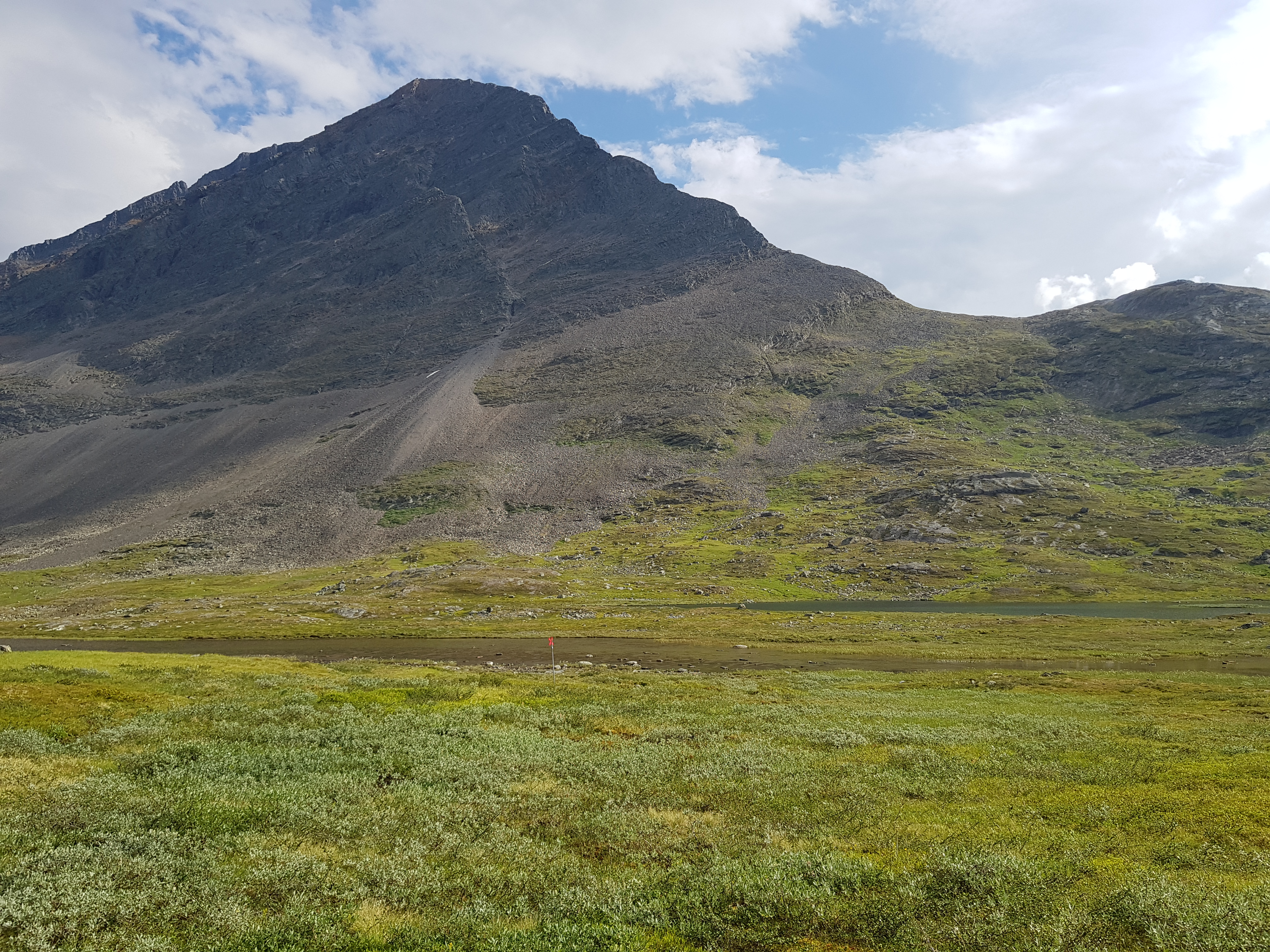
Valley view along the way
We decided to camp a kilometer or so before Singistugorna, close to a water stream. The weather forcast said we would get a lightning storm but it luckily passed us in the distance.
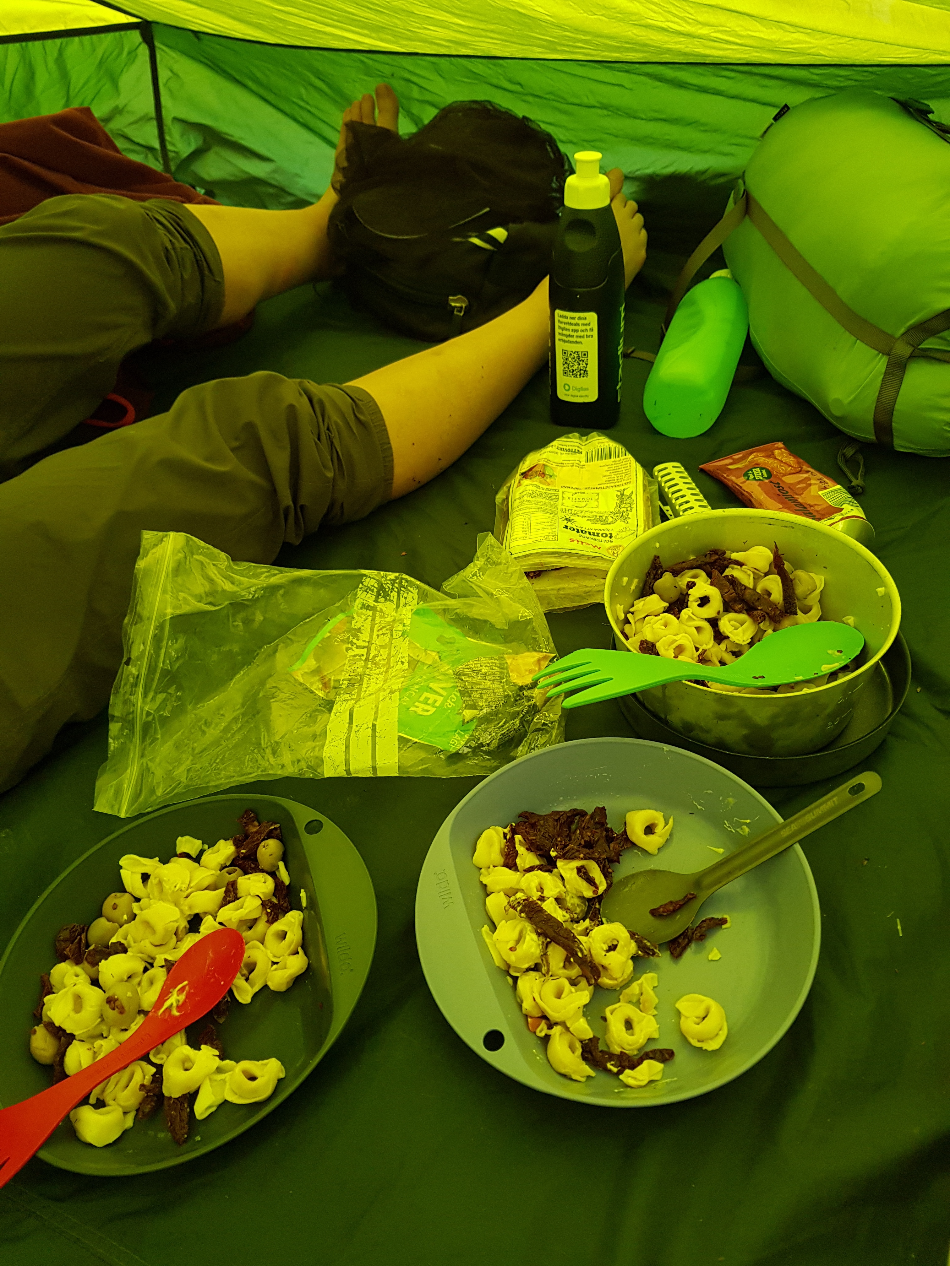
Dinner in the tent to avoid mosquitos (and rain)
2018-07-22 Singistugorna - Kaitumjaurestugorna Link to heading
Before we started the hike of the day we re-arranged our backpacks to give me more weight and Caroline less weight, with the goal to increase our average hiking pace.
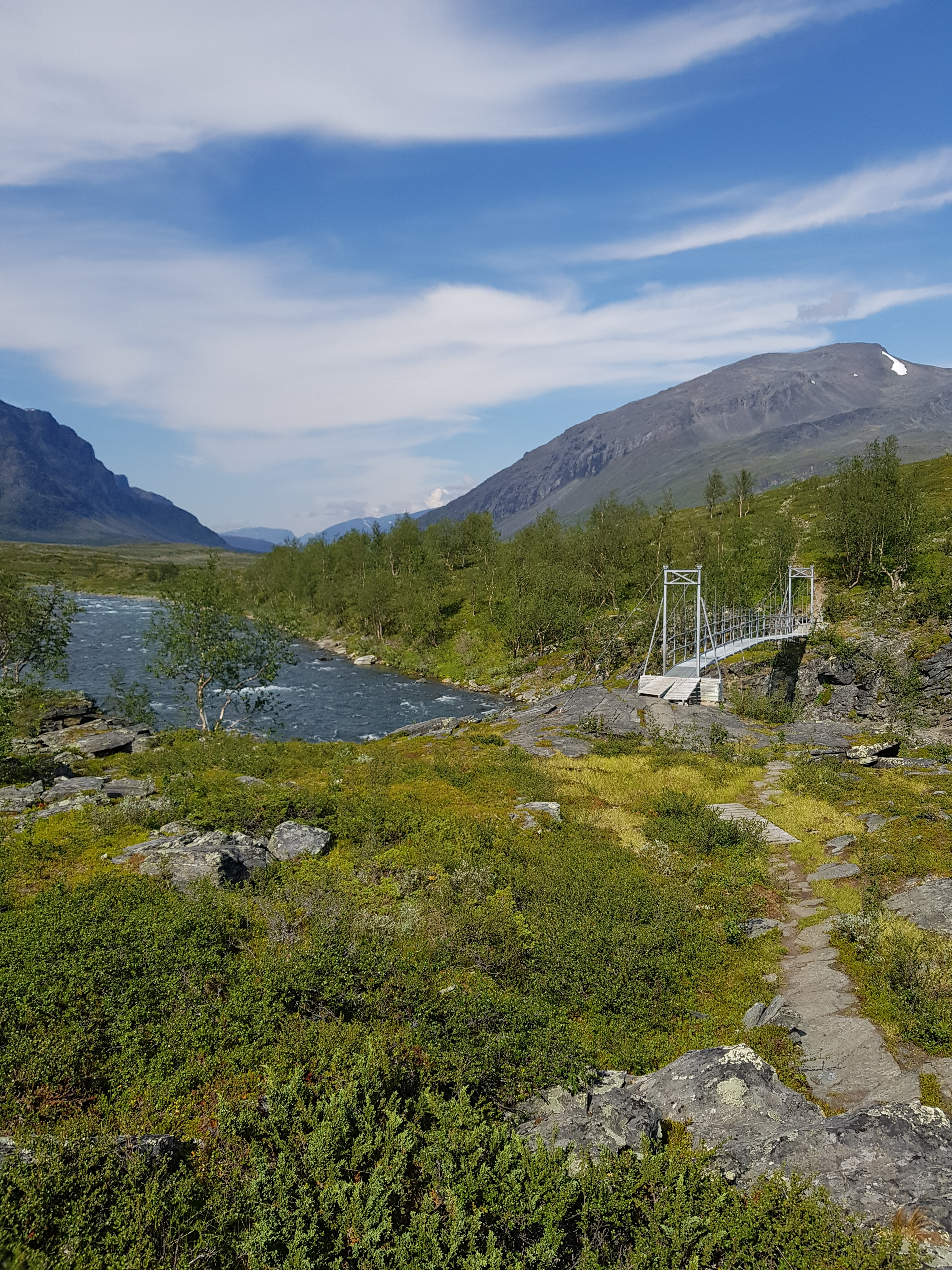
View at the bridge a few km before Kaitum, looking towards Singi
The route was fairly well established so we could keep a good pace. We reached Kaitumjaurestugorna after about 5.5 h hiking and settled down next to the beach, next to the river with a small beach. Since we had now passed the midpoint of this second hiking week we decided to share my last beer together with rice, tuna and sweet chili sauce.
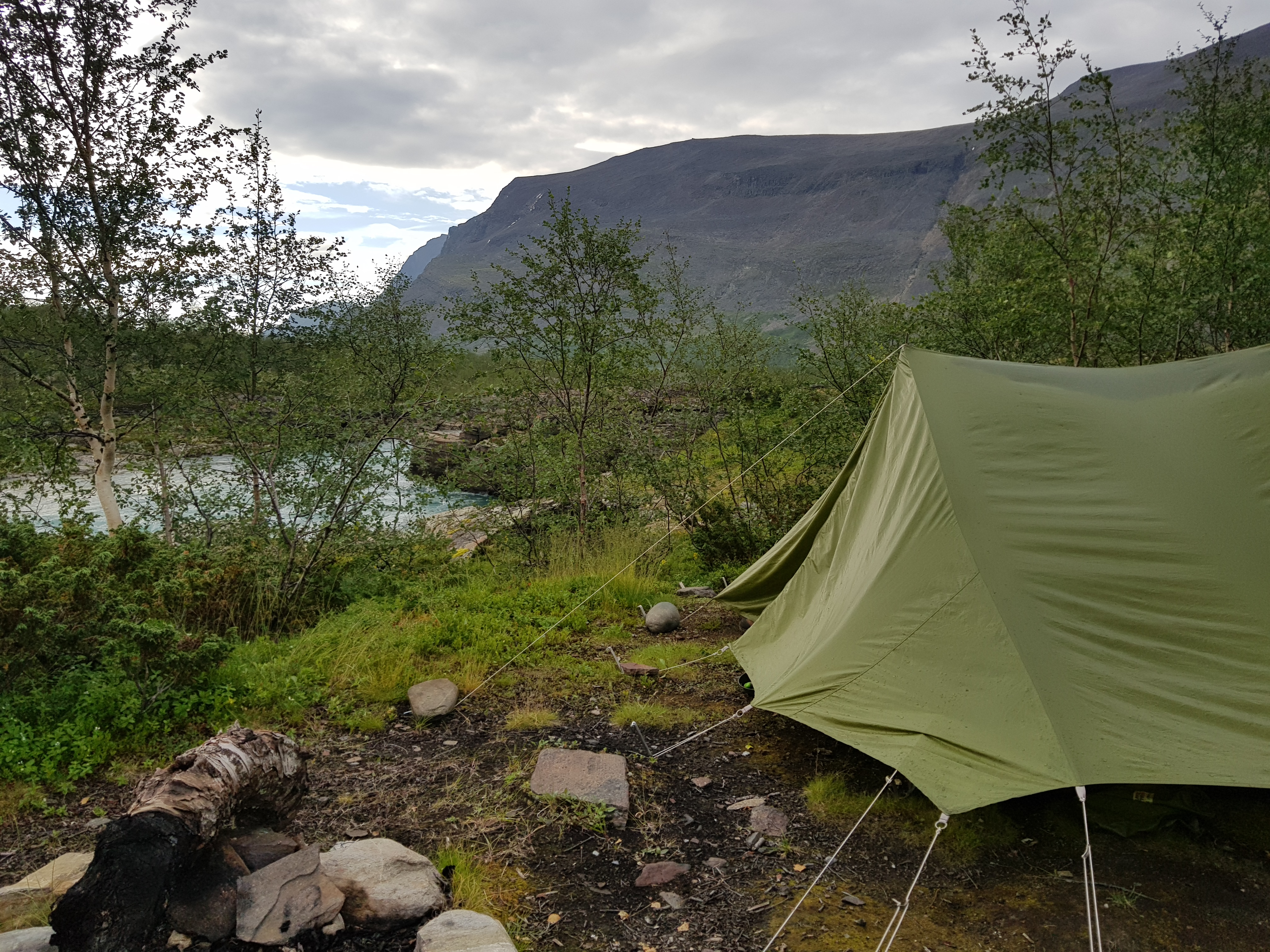
Picture from the campsite, with the river next to it
The weather got worse for a while in the evening, with rain and lightning, but the main storm missed us once again.
2018-07-23 Kaitumstugorna - Teusajaurestugorna Link to heading
We woke up quite early and got going at 9:30. The weather was cloudy which was nice. Our bodies have started to get tired so the pace, especially uphill, was quite low.
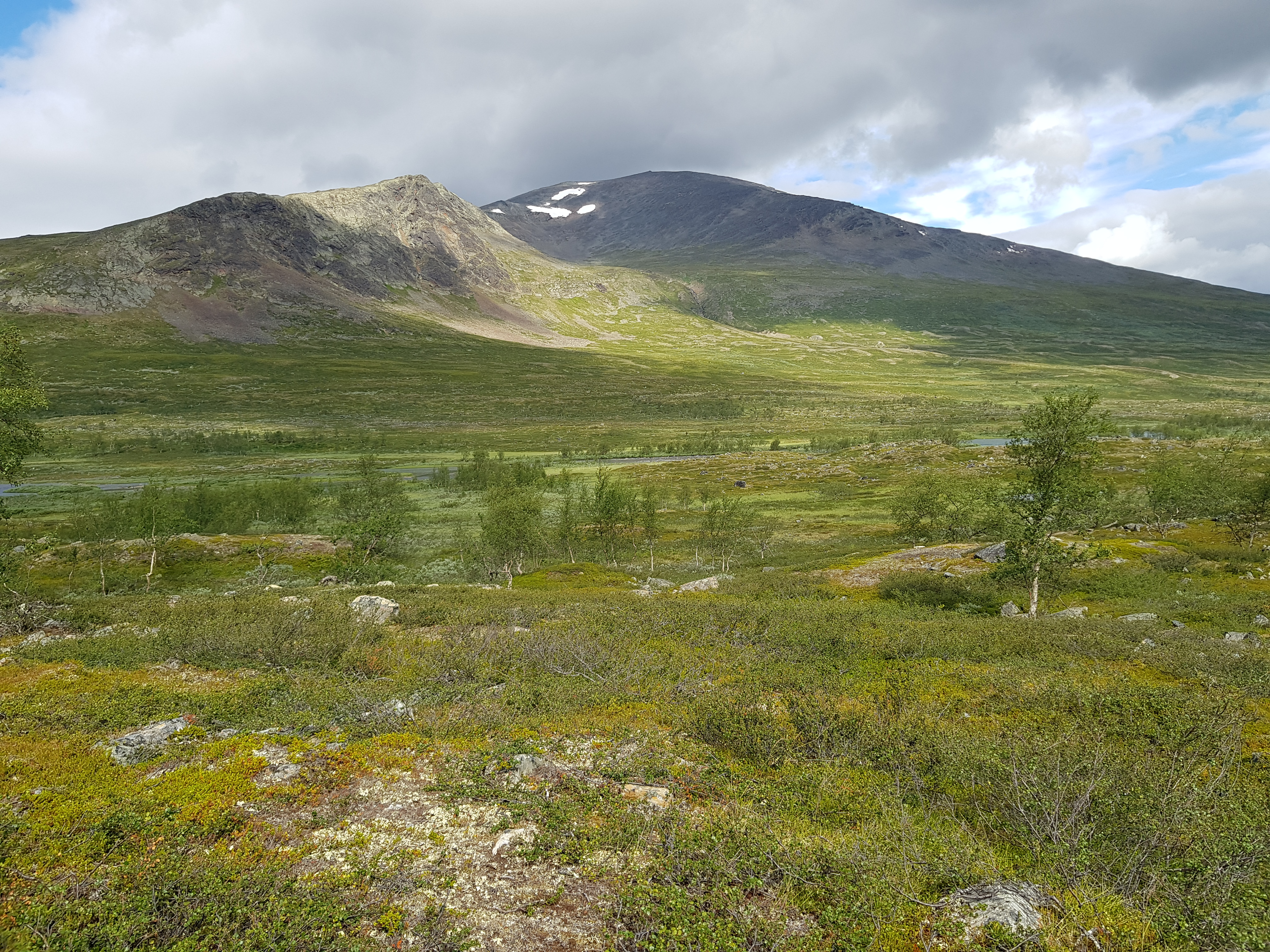
View from highest part of the hike
We passed several nice possible camp sites on the way towards Teusajaurestugorna, on the high ground right before the station, but decided to pay the tent fee to get access to the services at the station.
2018-07-24 Teusajaurestugorna - Vakkotavare Link to heading
We took the motor boat across the lake at 9am and then hiked to Vakkotavare. The initial plan was to camp a km or two before Vakkoravare but we didn’t have any cell service once we arrived there and therefore walked all the way down and camped next to the water instead.
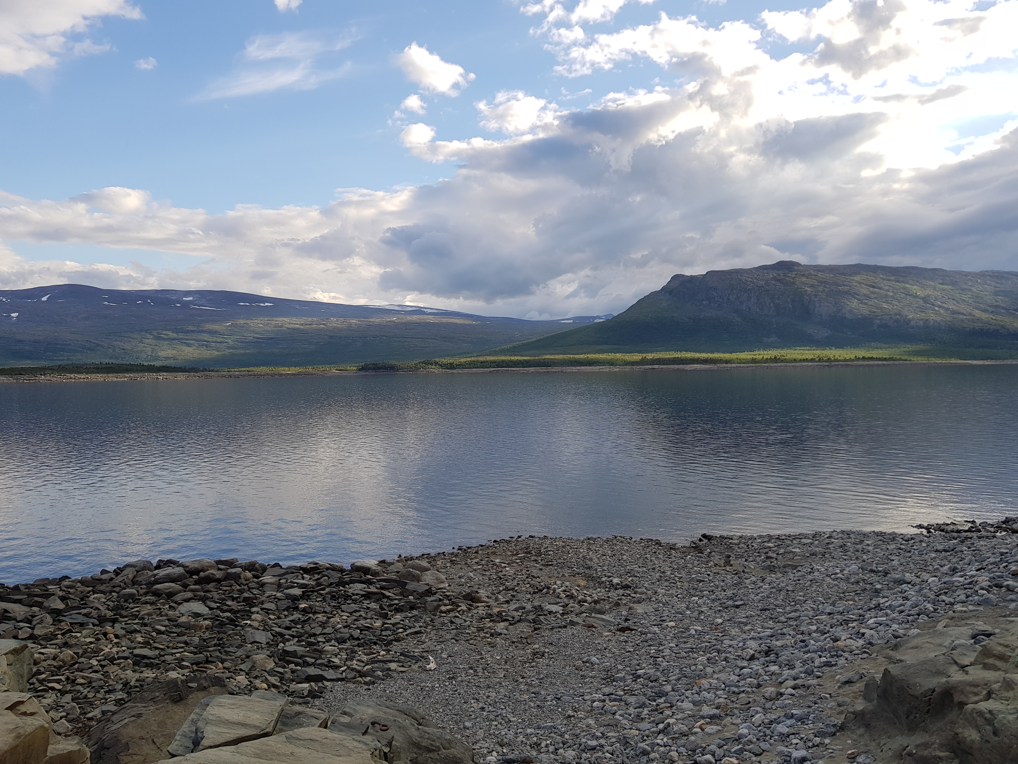
View from the camp, over the beach and lake
We had an extra day and talked to the STF host at the Vakkotavare station and learned that we could take the bus to Saltoluokta (it is possible to pay on the bus) and enjoy a three course meal at the Saltoluokta STF station, as the end of this trip.